Back ماتلوک، دربیشر AZB Matlock CEB Matlock, Swydd Derby Welsh Matlock Danish Matlock, Derbyshire English Matlock Spanish Matlock Estonian Matlock (Derbyshire) Basque ماتلوک، دربیشر Persian Matlock (Royaume-Uni) French
| Matlock | ||
|---|---|---|
 | ||
| Koordinaten | 53° 8′ N, 1° 33′ W | |
|
| ||
| Traditionelle Grafschaft | Derbyshire | |
| Einwohner | 10.689 (Parish) | |
| Verwaltung | ||
| Post town | MATLOCK | |
| Postleitzahlenabschnitt | DE4 | |
| Vorwahl | 01629 | |
| Landesteil | England | |
| Region | East Midlands | |
| Shire county | Derbyshire | |
| District | Derbyshire Dales | |
| Civil Parish | Matlock Town | |
| Britisches Parlament | Derbyshire Dales | |
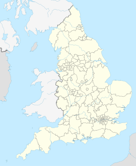
Matlock ist eine Stadt in der Grafschaft Derbyshire in England. Sie liegt im Tal des Flusses Derwent an der südöstlichen Grenze des Peak-District-Nationalparks, ca. 35 km nördlich von Derby. Die Stadt ist Verwaltungssitz sowohl der Grafschaft als auch des Distrikts Derbyshire Dales.
